Fraunhofer-Institut für Graphische Datenverarbeitung IGD
Technological development, Consultancy
18059 Rostock, Südstadt
Deutschland

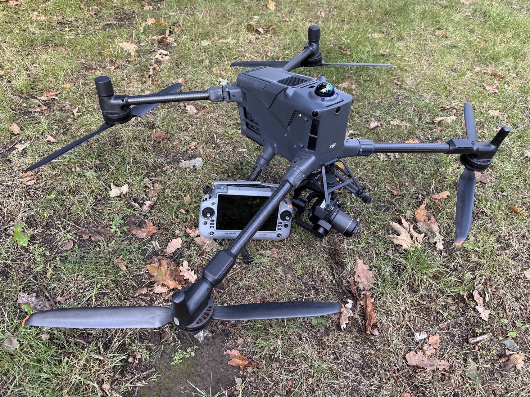
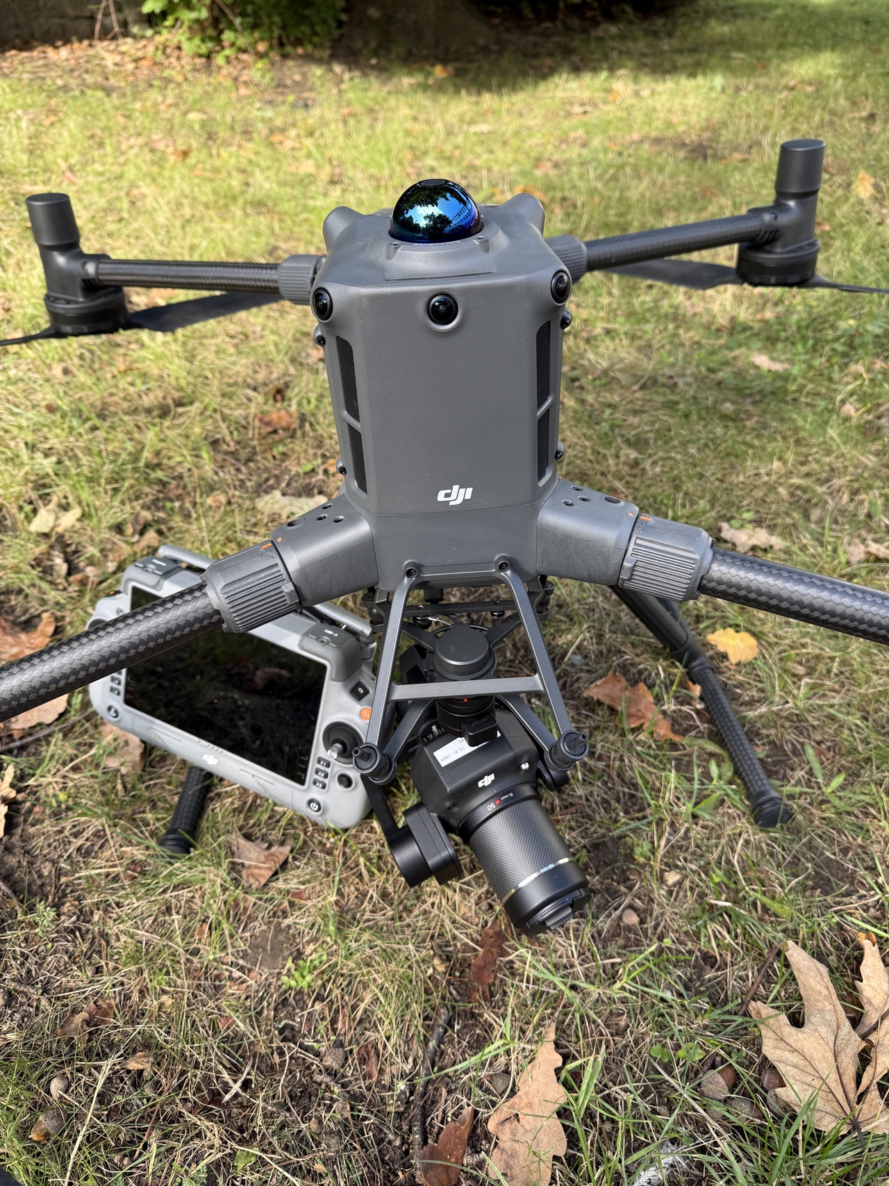
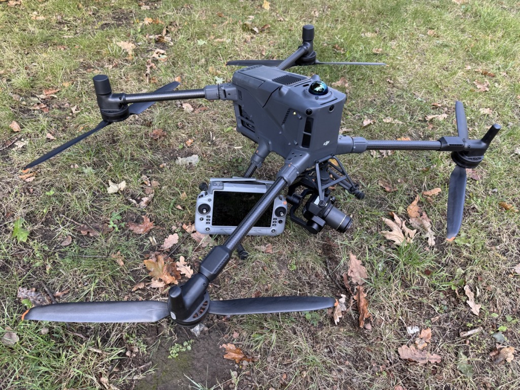
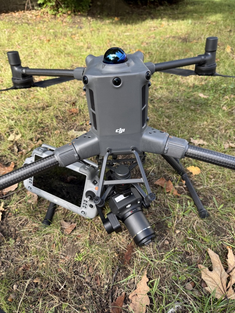
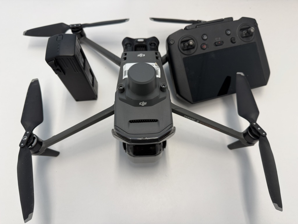
The DJI Matrice 400 (M400) is a high-performance drone platform designed for demanding surveying and remote sensing tasks. Thanks to its high payload capacity and the ability to use a variety of sensors, it can be flexibly adapted to a wide range of applications.
The Zenmuse P1-RGB is a high-resolution full-frame photogrammetry camera designed for precise 3D surveying and mapping. The Zenmuse L2 LiDAR sensor, on the other hand, enables the direct capture of 3D point clouds and terrain structures—even in dense vegetation. This combination provides detailed insights into vegetation cover and terrain features.
– High-precision terrain surveying and 3D mapping, as well as orthophotos and surface models
– Capture of vegetation structures and elevations
– Research and development of new methods for automated data analysis
from