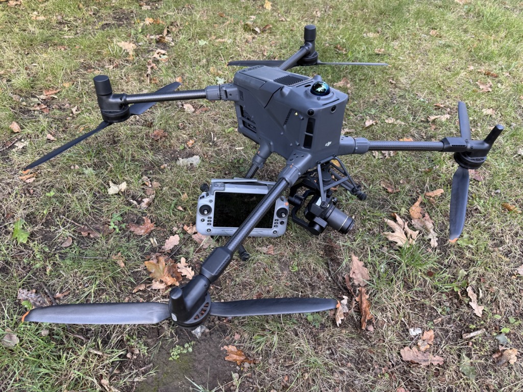
Fraunhofer-Institut für Graphische Datenverarbeitung IGD
Technological development, Consultancy
18059 Rostock, Südstadt
Deutschland

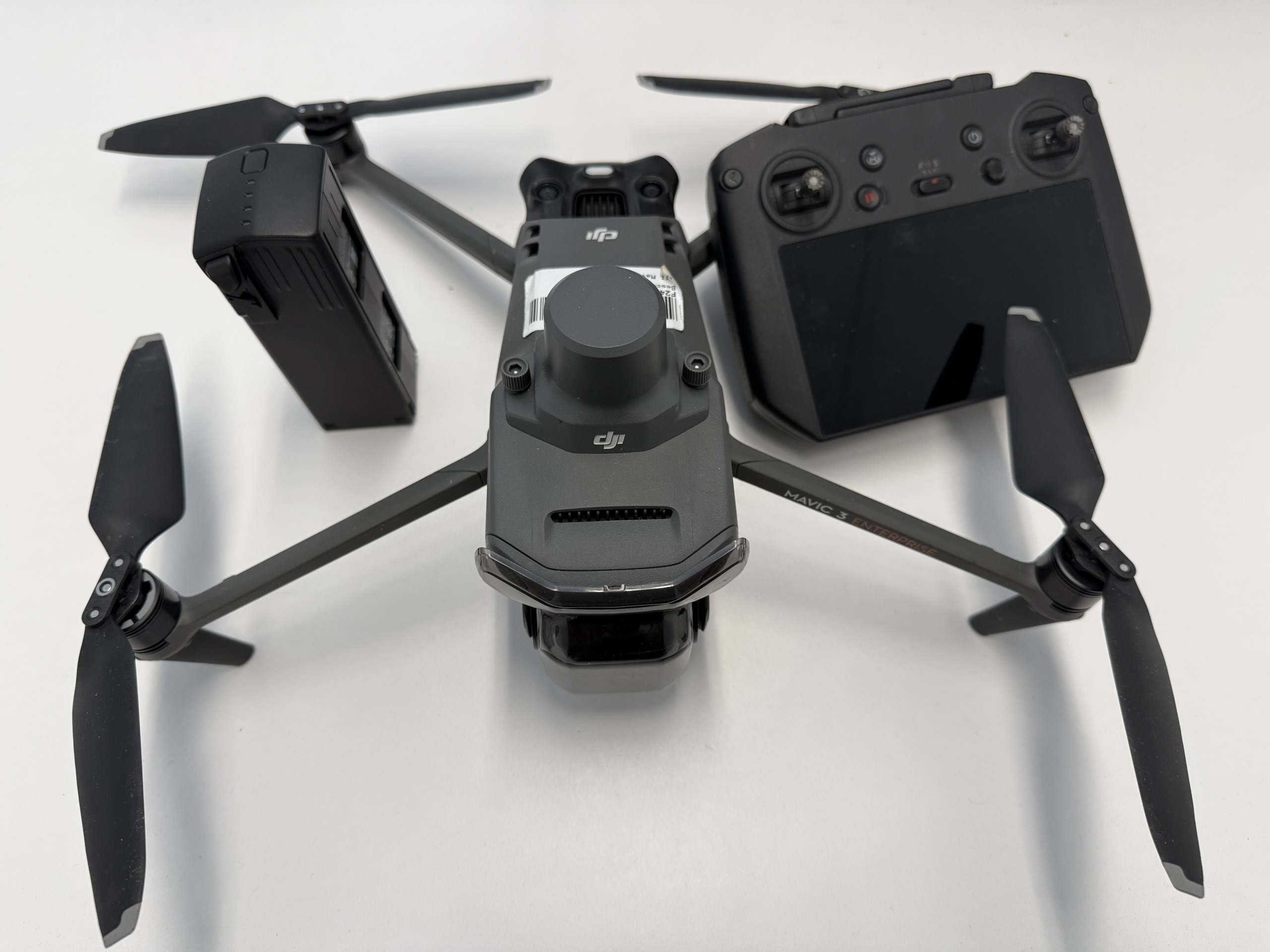
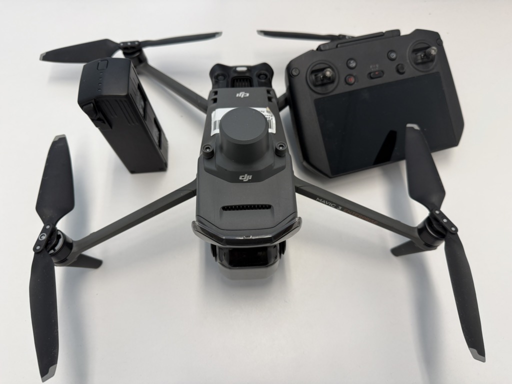
DJI Mavic 3 Multispectral – Precise Aerial Vegetation Mapping
The DJI Mavic 3 Multispectral (M3M) combines a high-resolution RGB camera with a multispectral camera and also captures spectral bands such as green, red, red-edge, and near-infrared. This allows vegetation to be analyzed and distinguished not only visually but also based on its spectral characteristics.
The compact design, automated flight planning, and ease of use enable fast and flexible data collection directly on-site. At the same time, RTK positioning and multispectral image data provide a precise data foundation for further analysis.
– Monitoring of paludiculture and agricultural areas
– Creation of high-resolution orthophotos and collection of training data for AI models
– Analysis of vegetation condition, heterogeneity, and biomass
from